
Liapeng Raliengoane
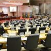
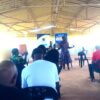
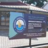
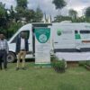
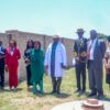
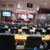
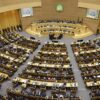
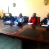
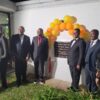
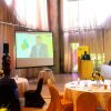
LESOTHO, Maseru – Following the request from the government of Lesotho to the United Nations World Food Programme (WFP) Lesotho, to support the government with a platform that will assist to make visual data-based decisions, a geospatial platform was launched in Maseru today.
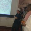
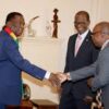
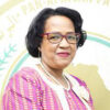
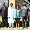
While handing over this platform to the government of Lesotho, the United Nations Resident Coordinator in Lesotho, Amanda Khozi Mukwashi commended that the potential of an integrated geospatial system in fostering development is significant as it allows for informed decision-making and evidence-based planning, key to the efficient use of the limited resources available to achieve the Sustainable Development Goals (SDGs) as set forth in the 2030 Agenda.

“This launch is at an opportune time as the geospatial platform initiative is in alignment with the government of Lesotho’s priorities as laid out in the National Strategic Development Plan II (Strategic Focus 2023/24 -2027/28): that the government’s goal is to strengthen good governance and accountability, while focusing on improving food security with the underlying goal of prioritising social transformation. It seems then that this platform is a tool specifically designed to meet all the criteria to enable the government to reach its full potential in improving the lives and livelihoods of Basotho,” she highlighted.
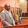
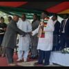
The Prime Minister of Lesotho Rt Hon. Samuel Ntsokoane Matekane expressed gratitude to the WFP for their unwavering support, both financial and technical in bringing this project to fruition.
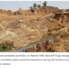
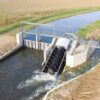
“The Geospatial project for territorial planning signifies a paradigm shift in how we approach development and urbanization. By harnessing the power of geospatial data and analysis, we can make informed decisions that optimize the use of our land and resources, ensuring sustainable growth and improved quality of life for our citizens,” he said.
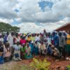
As explained by experts, the Geospatial platform will empower citizens to actively participate in the decision-making process, leading to informed choices and positive outcomes.
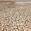
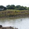
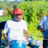
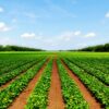
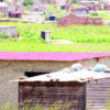
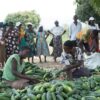
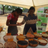
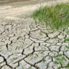
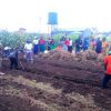
For instance, farmers will benefit from enhanced knowledge regarding optimal vegetation growth in specific regions. With access to geospatial data and tools, they can make informed decisions about when to plant different crops based on factors such as climate, soil conditions, and water availability. This will strengthen their capacity to maximize agricultural productivity and sustainability.
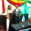
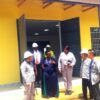
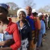
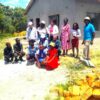
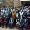
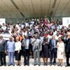
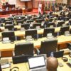
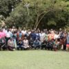
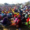
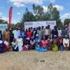
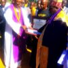
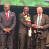
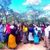
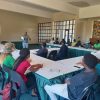
56 officials underwent training to use the geospatial platform and were awarded certificates at the event.